|
Home More Even More |

|
M t S t H e l e n s |
|
GT RatzlofF PO Box 42209 |
|
All photographs & content by GT Ratzloff Entire Site Copyright © GT Ratzloff 2008 All rights reserved. |

|
* Text from Mt St Helens websites:
Seaquest State Park is on the shores of Silver Lake, which was formed when a previous eruption of Mount St. Helens permanently dammed Silver Creek. Silver Lake is only ten feet deep.
The property was willed to Washington state upon the death of Alfred L. Seaquest, the owner of the family homestead.
Seaquest stipulated in his will that if liquor were ever sold on the property, the land would "revert to the ownership of Willamette University."
Fifty-seven people were killed; 250 homes, 47 bridges, 15 miles (24 km) of railways, and 185 miles (300 km) of highway were destroyed.
Nearly 230 square miles of forest was blown down or buried beneath volcanic deposits.
The eruption lasted 9 hours, but Mount St. Helens and the surrounding landscape were dramatically changed within moments.
|
|
Use “Back” to return |
|
Home More Mt St Helens Even More MSH |


|
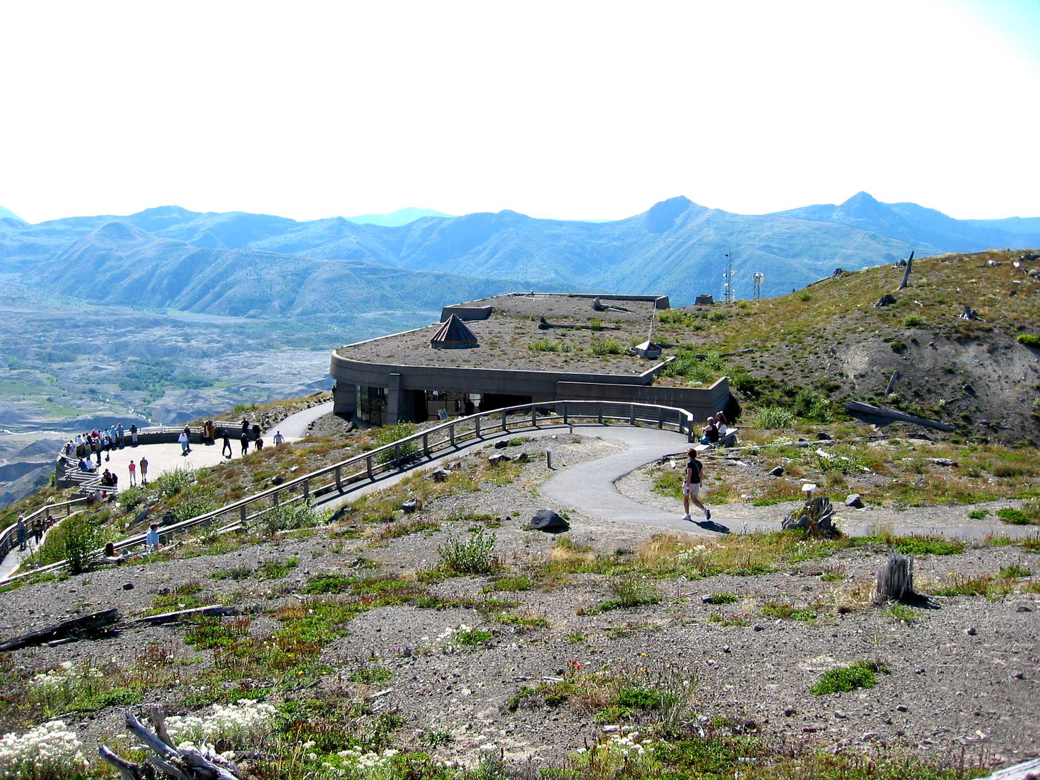
>>> Mt St Helens Location: 46.2 N 122.21 W Elevations: Mt St Helens Before 1980: 9677’ Now: 8363’ (Crater floor: 6279‘)
JRO 4220’ |
|
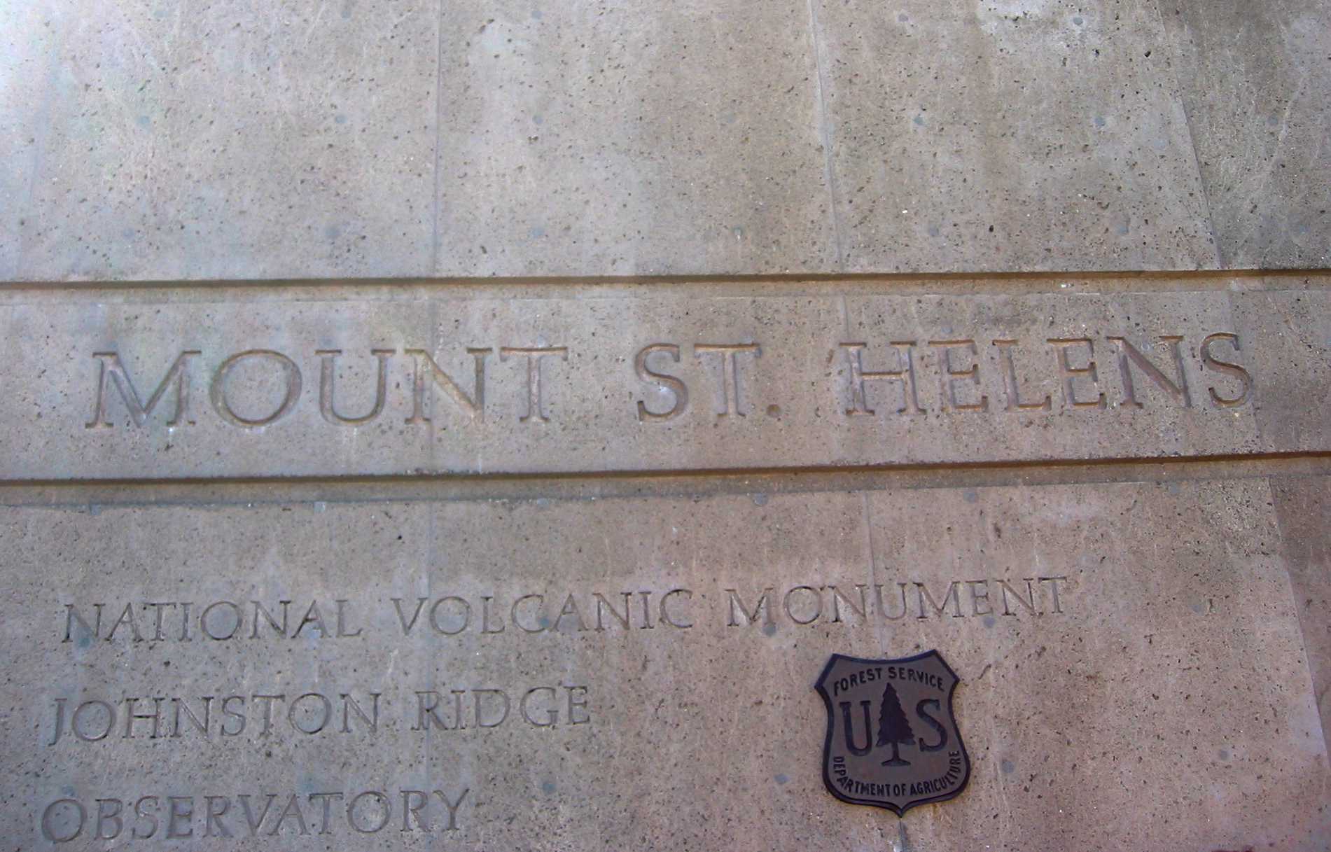
Wall of Johnston Ridge Observatory |
|
>>> Carole & Cindy
Sisters |
|
>>> Johnston Ridge Obervatory Note how building is built into the hillside and blends with the surrounding terrain. Some JRO features:
* 280-seat theater * 10,000 sq ft exhibit hall * staffed information desk * interpretive sales area * parking for 350 cars, 50 RV's and 20 buses * viewing plaza |
|
Carole and I met Cindy and Dick and Rich at Seaquest State Park near Silver Lake (which is on highway 504, the road to Mount Saint Helens). |